Running for the pies

Running for the pies

Saturday, 25 October 2014

21st September: The Pilgrim

Having done absolutely diddly-squat in the physical activity department since cycling the Glencoe marathon recce, I left this morning for my second running of the Farnham Pilgrim Marathon.

Like last year, my neighbour Pini was running it as well so I gave him a lift down to the start with me on this fine September morning.


The Pilgrim is the closest trail marathon to where I live at around 15 miles as the crow flies, starting from a field next to Farnham Golf Course and heading West on to the North Down’s Way (the ‘Pilgrim’s Way’, hence the name) for an out and back route that turns at the course’s high-point of St. Martha’s Church.


Parking-up close to the start we went down and registered before going about our separate preparations for the run.

Milling around before the off.
I made it to the start line with about 5 minutes to go where I caught-up with Dennis ’The Machine’ Cartwright who has recently been accepted into the next running of the Brathay 10 in 10 marathons in 2015 to wish him the best with preparing for that and to chalking-off another in his quest to join the 100 marathon club. Saying our hello’s the countdown commenced and we were off and trotting.

Hitting the Trail.
Heading out of the playing field start/finish and around the corner we all filed along a country lane before we found the North Downs Way and the off-road section over a few fields and skirting some woods. This path to the half way is largely on a downhill trajectory for the first 10 miles, passing a couple of pubs, a golf course, a vineyard and some llamas, so with the broadly downward path you can make a good time all the way to the foot of the climb up to St. Martha’s church where this first hill of any consequence really bites!

A four legged runner.
On this stretch I caught up with Rich McDonald with whom I ran part of the 54321 and managed to hold on to his tail for a chat for a couple of miles about the recent Scottish referendum and how in a master-stroke of politicking Alex Salmond has, whilst not winning the referendum, achieved pledges from the main political parties in Britain for far greater Scottish autonomy - something he had originally wanted on the ballot as a third option and was denied by ‘Dave’… That and my escapades on Ben Nevis and our plans for future races before I had to ease-off and let him go ahead at his far faster pace.

Some of the spectators.
The good thing about what goes up must come down is that upon having to climb up to St. Martha’s church, straight after the struggle to the summit you get the view from the top and a recovery stretch along the plateau to regain your breath before you have a decent descent for a couple of miles.

Topping the hill.
Come the turn at the church I had been making very good time, in fact I was on for a far better time than last year, but this came at a price as I had really over-done it by just going way too fast considering I had done no work in the build-up to this run, and from 15 miles on it is broadly uphill to the finish, so unsurprisingly come 2/3 of the distance my legs were shot and I just could not get a consistent rhythm going. Passing back over the canal bridge I knew there was only a few miles to go but I could only concentrate on merely reaching the finish rather than finishing with gusto and a faster time than last year slipped through my fingers in front of me… Crossing the line 15 minutes down on last year.

The view from the plateau.
As I crossed the field approaching the line I had a wonderful surprise… There was LSS and spud at the finish to cheer me home, although after grabbing my breath and a couple of slices of cake, Spud was more interested in grabbing what was in my hand than seeing me!
Pini had run 2 minutes slower this year than last but had finished in a higher position of 10th overall and 3rd in his category - although they only gave a prize for the first 2 positions, so he missed-out there, but that does not take away anything from a terrific achievement, something I know he had been training hard for.


Crossing the canal.
This year all of us finishers were given a tech tee (a light grey one with a front and back print of the event logo of a monk) so another one for the collection! but it is quite a funky one.
As I recovered from the exerts, feeling completely rinsed I saw Marathon Man standing just along from me looking as fresh as a daisy so I sauntered over for a chat. It turned-out that he and Pini spent some time on the course chatting and running as they were both towards the front of the pack at the start before Pini pushed on harder leaving him to finish in his very own respectable time.


After a few Spud ‘cuddles’ and a time to recover I wandered back to the van with Pini. As we piled our gear in to the back, a familiar face pulled-up alongside us he drove off for home: Rich McDonald again, who I hardly recognised without a buff on his head, stopping for a farewell chat after another good run before driving back to our respective homesteads and recovery after the day's exertions.


Its safe to say I was a little disappointed in my time - and I know why it was thus: Going too hard too early and not putting any practice in since my tumble off that hill in Scotland, although I managed a finish and in 277/347 so still a little way of DFL, which I recorded in my first official marathon, and an experience I hope never to repeat - although from that point the only way was up as I have shown :)


Thursday, 9 October 2014

21st August: MTB from Glencoe to Roy Bridge

The previous post concentrated on the details of the terrain from the recce of the Glencoe Marathon route, but it didn’t really say anything about the experience of cycling it!

The plan was to start at the beginning and ride the route before continuing back to Roy Bridge where we were staying. After showing LSS the route back from Fort William and seeing the traffic on the A82 (as well as the mess I had made of myself a couple of days before) she made me promise not to go along the road, but do the full distance off-road as was feasibly possible… Naturally I acquiesced to keep the peace, besides cycling off-road would be more fun over churning out the miles on the road on the MTB with nobbly tyres on.

Dropping me off at the campsite start on the edge of Glencoe village I headed off… And was breathing out of my arse in a matter of a couple of minutes due to the short sharp climbs on the road as it made its way in to Glencoe proper.

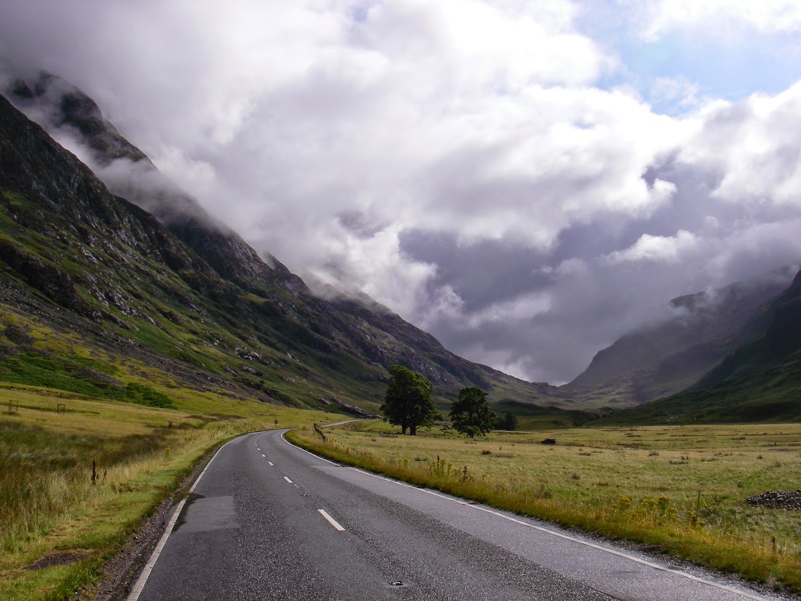
Hitting the A82 I was struck by the sheer majesty of the glen - there was mercifully little traffic on the road as I cycled along, able to enjoy the silence and the soak in the atmosphere.

The road is a slight uphill for the whole distance from west to east, so it is a real slog and every pedal stroke made me long for my road-bike which would just eat-up the mileage. By the time I hit the point where the West Highland Way crosses the road I was absolutely creamed, and had to dismount to push the bike up the Devil’s Staircase.

Dear God that was a chore - pushing a lump of metal on wheels all the way to the top, however the view back was worthwhile… But not as worthwhile as the descent that came next :)

This was the first time I have cycled a proper downhill trail like this and it was great fun to just go for it and let the bike take itself. When at the top of the ‘Staircase I bumped in to a MTB tour with their guide who was leading them in to Kinlochleven, so I thought I’d tag-on the back of the group to feel my way in to the riding, however in a very short period of time I found myself sailing past the lot of them and I was on my own again.

Shortly after this section I had to abandon the descent on the bike in favour of doing it on foot as the trail was just too rocky - large loose round rocks that kept throwing your wheels offline and in one case causing me to come off and take the pragmatic decision to push until the terrain calmed-down again.

On the trail just before the descent to Kinlochleven I bumped in to a gent walking the ‘Way by himself and we stopped for a chat. He is a native of Houston and was over here for a couple of weeks with his daughter to walk the West Highland Way from start to finish, before heading off to Spain to walk some of the Camino de Santiago de Compostela!

Through Kinlochleven and there was a beast of a climb up the hill to above the tree line on the mountainside… The trees held the humidity in on this section and with the sun coming out to play it was getting uncomfortable in the still air under the leaves… And then there was the midges to contend with when you were out in the open. After this hellish bike-push to the top, it was a relief to finally be on a path that had a bit of down rather than just ups. Savouring the views I rode and pushed my way to the section where it evened-out and I as able to finally get a proper ride going on the undulations… And finally let-rip again over the next 5 miles or so, getting a good head of steam-up and worrying the sheep - and a vole at one point that decided to race alongside my bike before ducking in to some rocks. The path here was still pretty rocky and with the rain of the previous few days it was almost a river in places which when combined with the streams that crossed the trail here and there created a pretty soggy cycle, but immense fun picking your path over and through the rocks at speed, bouncing around like crazy.

Negotiating my way down from mountain valley was an enjoyable breeze, with the trail being a wide forrestry road and I was able to just freewheel at speed in to Fort William. As I hit the road at the bottom I decided to gather my thoughts and stop for a snack before continuing on the way back along the cycle path eastwards for the last 15 miles to the holiday gaff. Finding my way on to the military road, I followed the undulations at a steady pace - I was absolutely wiped by this point as I had been cycling for 6 hours! and as another rain shower started, my chain snapped… Great. Fortunately I had taken a spare quick-link with me so I was able to affect the repair without too much of a faff, and carry on along my soggy way.

When the military road came to an end I had no choice but to get on to the A82 and the final mile in to Spean Bridge before turning off in the direction of Roy Bridge… Only a matter of about 5 miles to go and the chance of a good rest and a warm shower, working out that it translated to around 20 minutes away from the end.

I think the bike was feeling it more than me, as the left crank - the bit the pedal attaches to the frame started to feel like it was slightly wobbling side to side… Then the slight turned into significant to the point it seemed like it was about to fall off, so I had to stop again to try and tighten the nut. I could not get anything in to the confined space to properly tighten it, so over the last few miles I had to stop every half a mile or so to do it back up… Those last few miles seemed to take an interminably long time.

When I pulled-up to the holiday home it was just over 7 hours since LSS had dropped me off and I noticed my van was not there - it turned out that LSS had been so worried about me coming a cropper after the Ben Nevis incident that she had gone out to look for me - even stopping in to the A&E at Fort William to enquire if I had been brought in to there in pieces! At least this time I managed to get back in one piece. Bless! although my name was mud for putting her through the anguish :(

Whilst I was unscathed, the toll on the bike was pretty high: The brakes are worn-out after all the downhill action, the saddle-bag for the tools has been shaken to near oblivion - tearing the stay on it, plus the crank arm will now need replacing after slightly rounding through the continual wobbling over the last few miles. Safe to say  it needs a bit of TLC to get it back working properly!

The ride itself was very enjoyable, the challenge of pushing the bike up hill for all that time was far outweighed by what came afterwards. I know for sure that you cannot cycle the West Highland Way, and from looking at the average speed of 5mph, its almost as quick to run it as it is to ride it! The countryside throughout was a treat to behold, and the old military road was better to look at than asphalt with being hemmed-in by trees all the time, although this was nowhere near as quick as taking the road which also has a pretty good view from it as well!.. If you’ve got a bit of time on your hands its certainly worth doing Glencoe to Fort William yourself on foot or by 2 wheels.

It’s safe to say I’m glad I’ve taken the time cycling the route in advance of the run, as I now know the route from start to finish, so come October the course holds no real surprises :)


Saturday, 4 October 2014

20th August: Glencoe Marathon Recce

Kind of recovered from the exertions of the big 'Ben' a couple if days ago I took the opportunity to recce the route of the Glencoe marathon on my MTB… This is the first time I have every done something this sensible in performing a recce of a route in advance of running it. I plugged one of last year’s runner's data in to my Garmin and just followed the arrow!

LSS kindly dropped me off at the campsite start site just outside Glencoe Village and demanded that I return in 1 piece this time!

Whilst on the road or this first stretch I could view the trail and from the Red Squirrel campsite it's a gently undulating path that takes you down in to the glen itself where the trees fade away to be replaced by the vista of the mountains & munros that line either side.


The path and road to the glen.
The waterfall.
As you make your way in to the glen proper you pass a stunning waterfall before continuing over the undulating trail (although more uphill than down) as you weave your way through the glen taking in the beautiful scenery.

Through the glen.
Eventually you pick-up the West Highland Way - which forms the rest of the route - and you turn northwards to face the first of the 2 big challenges of the day: The Devil's Staircase.

This is a long slow trudge up to the top following the switch-backs of the path over the loose rocky path until you eventually hit the top and the rewards of the view back down across to the other side of the glen.


Looking up the second half of the Staircase
Looking down from the top of the Staircase.
Continuing along the path it's a mostly downhill stretch as you work your way through the wonderful mountain scenery before Kinlochleven comes in to view before you. The path is pretty much a loose rocky stream along here - so not something to do if you hate having soggy feet!


The trail between the Staircase and Kinlochleven
As you near the hydro plant on the hill-top you hit a really steep descent following the path of the water pipes down to the turbine hall and the half way aid-station.

The 20% gradient descent to the aid station at halfway.
The hydro plant looking back up to where you came from!
Out the aid station and you cross the town of Kinlochleven then head up what seems to be another mountain; its a mix of single track woods and as you get above the trees a stony path, fording several streams in the process.

The trail out of the village up the mountain side.
The first view back of Kinlochleven.
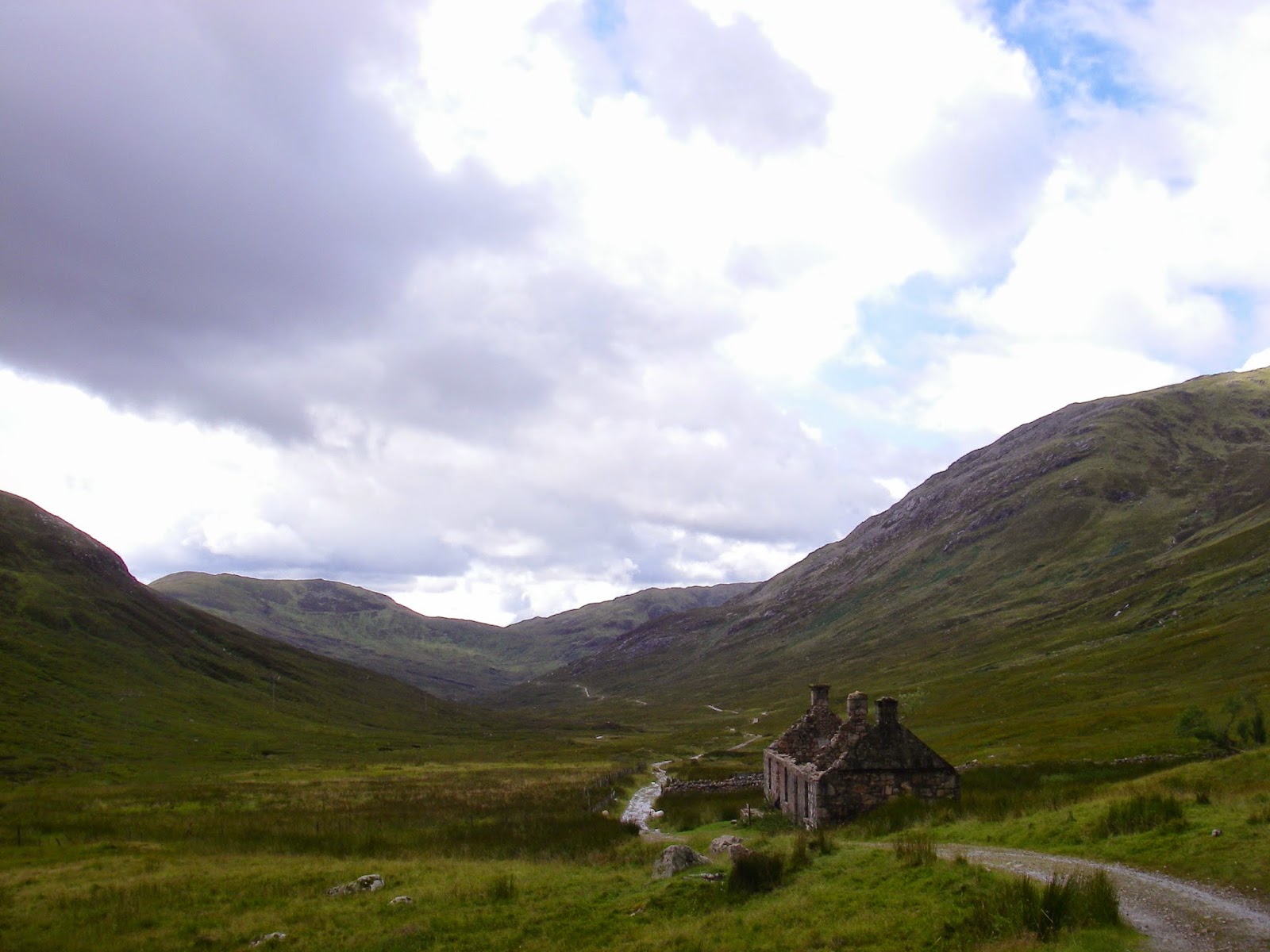
Once up on here its a long undulating section along the mountain top valley from here to the Ben Nevis visitor's centre - past plenty of sheep, a couple of abandoned derelict crofts and again underfoot whilst hard and rocky its pretty much a stream!

On top of the hills, the trail runs along the mountain valley.
Quiet and beautiful up here!
The undulating path to Fort William along the West Highland Way
At the end of this section it gives way to forest and some punishing short sharp up and downs before you descend into the tree line and follow the woodland trail - and down some slippery steep steps to cross a stream!

And then the trees returned!
Into the woodland trails.
Eventually after a couple of evil sharp hills you hit the forestry road at about mile 24 and follow the sharp descent of the final couple of miles back down to the Ben Nevis visitor centre and the finish line.

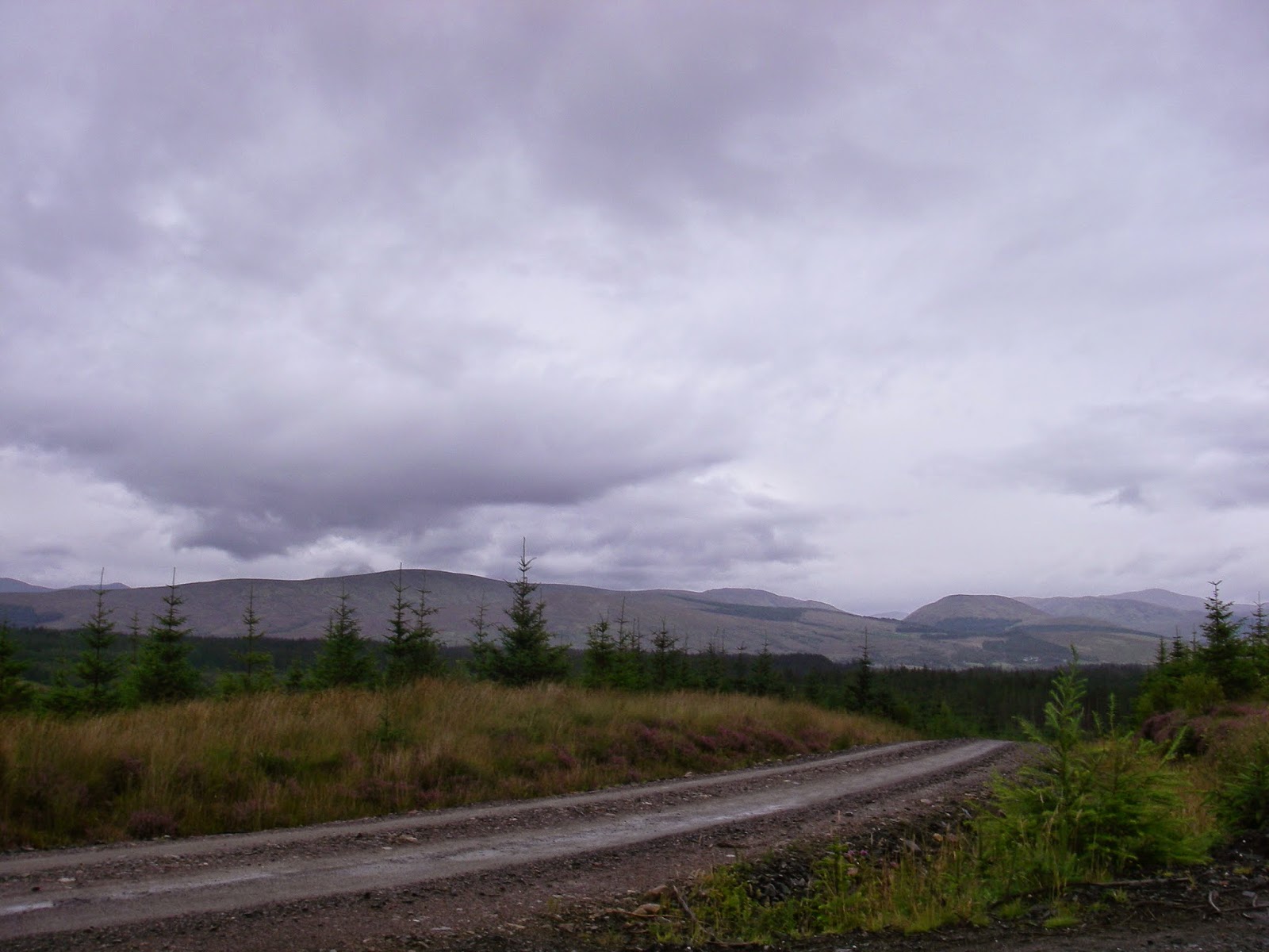
Descending on the forestry road towards the finish.
In brief, the scenery is gob-smackingly good, the terrain is TOUGH!.. There's plenty of runnable sections but the Devil's Staircase and the climb out of Kinlochleven are beasts! You can summarise the run as 2 big ups and 2 big downs and you’re done. The weather will be a big factor as there will probably be 4 seasons in one run getting from A to B.


Friday, 3 October 2014

18th August: Big Ben

Fort William… A few years back LSS & I celebrated our honeymoon there for the few days we managed to grab alone after our wedding and in the process climbed up Ben Nevis… Since then LSS’s younger son has been in awe and wanted to do the same, so when we booked a week’s holiday in Fort William, a second walk up the mountain for the two of us and a first for him was planned, with LSS’s older son and his girlfriend also along for the ride, as well as our 3 four legged companions!

At the first opportunity the weather allowed we made our attempt at the ascent, driving off to the visitor’s centre and parking-up for the day… Now this blog is about running, so no-doubt you’re wondering why I’m writing about walking up and down a big hill? Well, with LSS and her boys along and the fact that LSS has walked the route before she would be able to act as a guide for them, I had the chance of a lifetime: running back to where we were staying from the top of the highest mountain in the British Isles.

I had planned the route in advance so I knew the distance ahead of me was 23 miles across the trails to ‘home’, and pretty much all of it was downhill (unsurprisingly) with the route plugged in to my Garmin to follow. The plan was for me to race LSS & co. back from the summit - their walking to my running to see if it was possible to beat them by running a more direct route to their plod back down the tourist trail and driving back.

Commencing our ascent just before midday with the mountain top shrouded in cloud, we walked our way from up from the visitor’s centre and hit the main path up the mountain just beyond the cafe. It was here that LSS’s eldest son’s girlfriend decided that the task in hand was a little bigger than anticipated and bailed-out, which was a wise move as the round trip is a good 7 hours and better not to start than to be wanting to bail just halfway up knowing there’s all that walking to be done!


Leaving the cafe at the bottom behind.
The four of us that remained began the meander up the tourist path. The first half of it to the waterfall is pretty-much all steps hewn from the boulders that are strewn around. After the waterfall it metamorphoses in to a stony trail that has a gentle slope and zig-zags its way up the side to the final quarter, where above the cloud-line it changes once more, this time in to a lunar landscape of light grey rocks of various shapes and sizes; all of them lying loose making the path pretty indistinct in places, leaving you to navigate through the mist from cairn to cairn.

 
The clouds weren't the only moody thing on the mountain today!


The whole party including the trio of spaniels... Keep an eye out for that flat stone above left the dog's head, it might be important later!
By the time we hit the snow-line just underneath the summit the hours of walking and the temperature drop were having an effect on LSS’s boys - they are 15 and 18 so not children, however like children they had failed to prepare themselves adequately for the task in hand… Despite the chivvying and cajoling of their mother before and ensuring they had adequate footwear, clothing, and back-packs to carry provisions, some times they have to help themselves that little bit: The eldest had not brought enough clothing with him to deal with the temperature drop - once in the clouds the temperature with the wind had dropped to around -5C and he was suffering as a consequence, although the walk itself had been taken in his stride. The youngest on the other hand, well he was ill-prepared physically and had only eaten 2 slices of toast that morning and had brought 1 cheese roll with him to eat on the whole journey up and down, which he knew could be as long as 8 hours!

Safe to say the novelty had worn off by now!
Once in the cloud-line, the youngest began to really suffer and was starting to make irrational decisions, which seemed to indicate that he was borderline hypothermic. He was insisting on stopping for a rest every few metres, but would just stand there facing in to the wind lightly hunched over rather than make any effort to shelter behind a cairn with his back to the wind which is rationally you would do… He was cold and hungry and on the most exposed part of the mountain so we had to make a decision about him and his welfare at that point. From our last journey LSS and I knew we were only around 15 minutes from the summit and that whilst just as cold, there were the walls of the old observatory to shelter behind and to warm up over some coffee from the flask we had brought with us, a chance to rest and recover a little before making the descent.

The sheer drop off the north of the summit plateau.
I had taken plenty of breakfast bars and gels with me for my run back, but with LSS’s youngest in his condition to give him the energy kick to get him moving and up to the summit I gave him a couple of my cereal bars and energy gels, which he gratefully accepted - even saying thanks, which is unheard of from him!.. Between the 3 of us we managed to coax him onwards to the summit where we all ate what food we had brought with us and attempted to warm up with the thermos of coffee… Here I had to make a decision. With the state LSS’s youngest was in, I gave him all my food and gels (except one breakfast bar and gel in case of emergency for me) to help get him down the mountain as he was in far greater need of the sustenance than me - After all I do have a sizeable paunch to live off, so I’d just have to tough-out the run on an empty stomach. At least I had my Camelbak with electrolyte drink in it so hydration would not be the issue, which I had figured could be the bigger problem if unprepared for that eventuality.

After stripping down to my running gear, I gave my gloves to LSS’s eldest as I would not need them once back below the clouds and I could cope with frozen hands until then so he could at least benefit from them in the meantime, and all of us got up for the walk back down, and in my case the run!

Saying my goodbyes and wishing them the best of luck getting down, I started-off on my run home. My hands were already frozen from the cold to the point I could hardly feel them as I left the plateau and ran through the snow down on to the slopes off the summit making a really good pace as I let gravity be my friend, although there were a couple of times that I had to slow to a walk as the rocks underfoot were just too treacherous to attempt anything else… Soon the path firmed-up and I was able to start again, sailing passed the walkers both on their way up and down, who looked at me like I was bat-shit crazy… which just spurred me on down slope and round each switchback, until.

OH SHIIIIIIITTT!

just as I rounded one switchback, as I went to overtake her, a walker decided to step out backwards. I had a split second to make a decision: I could crash in to her and god-knows what the consequences would be to her and me, or I could try and jink round her… This was the only real option, so I shaped my body to squeeze round her, but it was too tight and I lost my footing, or tripped on a rock, or something: I just knew my feet were lost from beneath me and I was falling and I knew it was not going to be a happy ending.

I tried to brace myself for impact and prevent serious injury… My forearm and hip hit the mercifully flat and smooth rocks first, then I couldn’t help my head from being next. The left side of my face hit the stone with a lovely crack like a coconut shy, smacking my cheekbone and jaw hard… As soon as I picked myself up I knew it was not good. I could feel my lip was busted, and a quick touch of it confirmed that with my hand full of my own claret. My main concern was my cheekbone. The way it had connected, I was sure it would have split the skin… The lady I had nearly collided with was very apologetic and was very keen to ensure I was ok. The lip was an obvious injury which she pointed out - I said to her its split so not too much of a biggy - I had already realised my teeth were still in tact so that was a big bonus! She then said ‘and your knees’… I looked down and I had skinned both of them, again no biggy as I’ve been doing that since a child! I asked her if my cheekbone was ok as it really was not feeling right - she said there was nothing there - which was in one way good, but I could feel it swelling so I knew I’d cracked the bone having done it before.

Weighing up my situation I had to make a decision. I figured that LSS & the boys were about 15-20 minutes behind me and then it would take 3 hours for us all to walk back to the van, by which time I would have cooled, the adrenaline faded away and possibly gone in to shock before they even caught up with me… So my only option really was to carry on going and keep moving to avoid things swelling and seizing - I could worry about that later on!

Dusting myself down I carried on with the run, heading off past the waterfall getting even funnier looks from the walkers as I was looking like I had gone a couple of rounds with Tyson! As I ran I tried to assess the damage. My arm was in agony, so I attempted to waggle my fingers to ascertain if there was a proper break - something that was not the easiest to do with frozen fingers that were like blocks of ice! I got them moving so at least I had peace of mind!


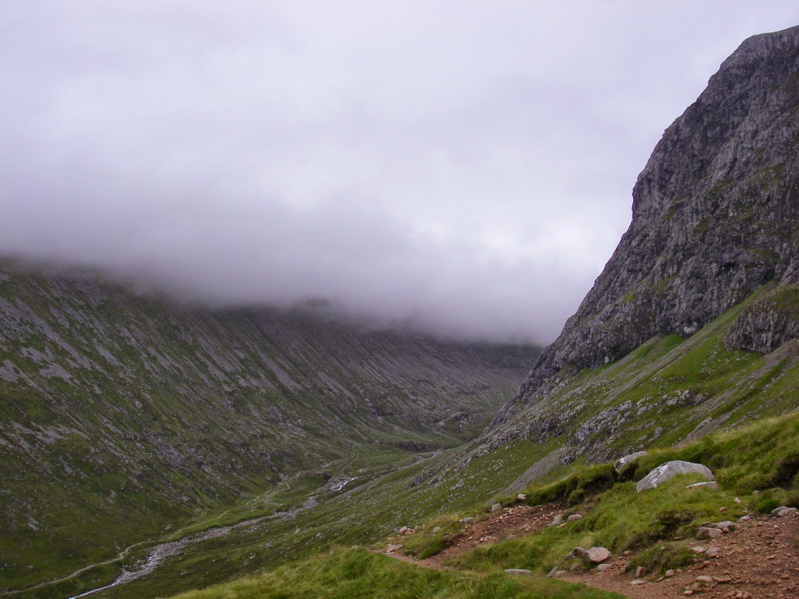
Views up the valley to the north face of Ben Nevis.
After veering off the tourist path, the route took me round the north side of the mountain, a path that whilst clearly there and on the OS maps, is not walked too often. This trail would take me along the side of the mountain that no-one ever sees before moving me off towards the Nevis ski resort and from there following trails until I pick up the East Highland Way as it runs parallel to the Spean River until I get to the first bridge across the river and doubling back to the holiday lodge.

Crossing the mountain river.
Looking back up the valley.
The path in front.
The terrain was absolutely stunning - picking my way around the north side of the mountain I could spy the path heading off round the valley and back in front of me on the other side of the mountain river… Seeing a bit of fun I decided to skip the path and go direct across the other side of the valley, fording the river in the process.

Back on the path I followed the weaving trail down along the river until it veered off in to the ski-centre’s grounds, where I saw the first people for about 10 miles since I left the path up Ben Nevis and its walkers.

Through the ski centre, and the tunnel under the gondolas I journeyed across the forestry trails in the process of being managed, swathes of the spruces being felled and logged… And that was when a new pain hit me. I was about half way in to the run and every step with my left foot was agony. It felt like two bones in my foot behind the toes were rubbing together each time my foot hit the ground. It was the kind of pain that makes you want to vom, and no pain killer was going to help me here… I must have triggered this with the fall.


Not too bad a view from the log I was sitting on.
When I could not bare it any more I sat down on a felled log and massaged my foot, hoping to ease some of the raging pain. With stopping for the rest I tucked in to my one and only breakfast bar whilst resting before heading off on the next section… This part when looked at on the OS map seemed to be a trail following a stream. Whilst marked as a footpath, in reality it was merely now an animal’s track through marshlands… Boy was that mile or so heavy going, varying from ankle to knee deep swampy marsh in places, although it did have an unexpected benefit; the continual soaking in the cold water acted as an anaesthetic to my foot and by the time I emerged eventually on to a proper hard trail I was able to continue my running again.

The birch forest bordering the swamp.
I could hear the sound of pouring water in the river running through a gorge a few metres to my side, tumbling over rocks and some waterfalls as I cut through woodland single-track trail before finding the forestry path again and running past more active deforestation of the land, which seems to be in a great deal of flux at present.

Eventually I managed to hit the road south east of Spean Bridge and followed it eastwards for a time, joining the East Highlands way and crossing farmland with the plentiful sheep and the occasional surprised hare.


Bridge over the River Spean.
Passing the village of Roy Bridge I was able cross the river Spean and the railway line as darkness began to fall. Unfortunately I did not bring a head torch with me so I had to run the last mile back west along the A82 to the holiday chalet in near darkness keeping hard on to the verge to avoid the few cars that did come along.

Arriving starving and exhausted from the exertions it was amusing seeing the look of shock and surprise on the face of LSS and her parents as I walked in looking a touch battered. They said I should go to the hospital to get things checked-out, but what was the point? There’s nothing they could really do for a busted cheek bone, bruised bones and cuts, except more powerful painkillers, but that wasn’t really worth the potential 5 hour wait!


Something I made a point of doing on the way up the mountain was to pick up some of the litter that other less conscientious people have left behind, so here's the little lot I stuffed in my pockets:


Not a great deal, but a little less left of other people's detritus on the mountain.
Thanks for reading this far... I suppose you deserve a pay-off for your patience wading through this rambling indulgence, so here's the money-shot of some the damage I did to myself: